All your geospatial data, in one place, for everyone
AVAG is the cloud platform that transforms raw data into accurate 2D and 3D visualizations, volume calculations, and invoice-ready reports. Built for teams who need outputs they can act on.
2D and 3D side by side
Unlimited users
Free trial. No credit card required.
Trusted by market leaders
Application
Your team needs the full picture
Survey data, drawings, photos, and measurements often live in separate tools.
Bring the relevant sources into one workspace so your team can review conditions, check quantities, and discuss the same information.
Solutions
Find the workflow that fits your work
See how AVAG supports site reviews, earthwork calculations, and client delivery.
Construction sites
Keep surveys, drawings, and observations together for your next site review.
What you can do:
Compare progress across survey dates
Review drawings alongside current conditions
Check quantities and record observations
Share project access with colleagues and stakeholders
Earthworks
Review the surfaces and boundaries behind your quantities.
What you can do:
Compare surveys with LandXML design surfaces
Calculate volumes and generate 2D cut/fill maps
Create profiles and cross-sections along lines and arcs
Prepare measurement reports for review
Drone service providers
Give clients the data, findings, and context they need.
What you can do:
Process imagery or import existing outputs
Give each client their own secure access
Add unlimited users at no extra cost
Control permissions so clients see their projects only
Features
Meet your next geospatial data platform
Processing geospatial data has never been easier. With our user-friendly and intuitive tools, you can efficiently evaluate the progress of your projects. Work smarter. Use AVAG.
Choose the processing workflow that works for you
With AVAG, you can choose from three photogrammetric workflows:
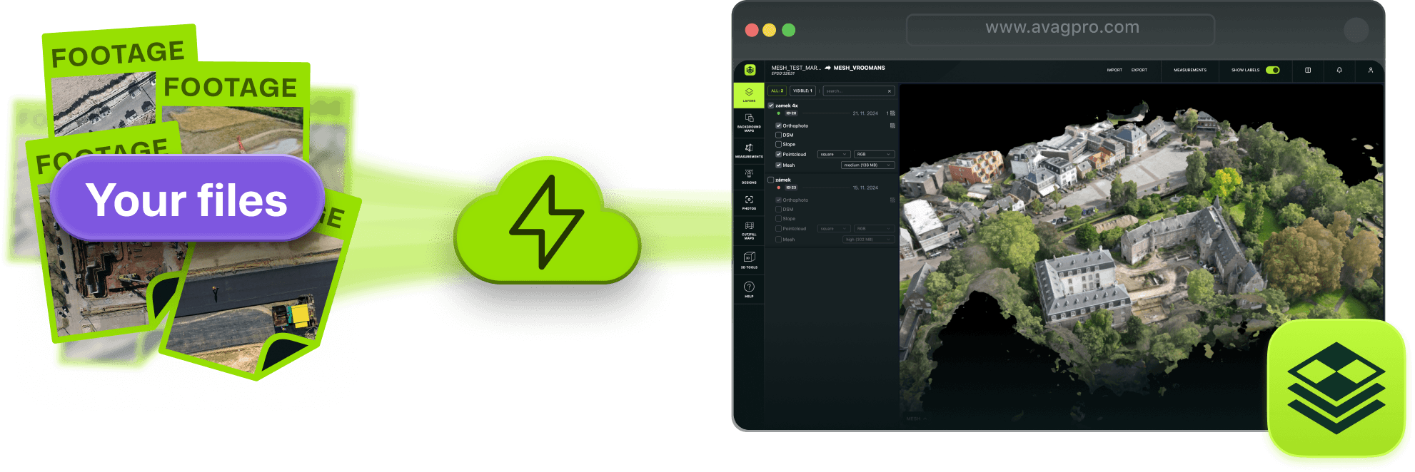
Upload your files directly – Process your data automatically without GCPs. This free, fully automated option supports an unlimited number of photos and data volume.
Semi-automatic processing with expert intervention – For projects with GCPs, our AVAG Photogrammetric Center applies the GCPs, verifies results, and passes the data to the next automated stage for reliable, precise outputs.
Import processed outputs – Bring in outputs from other photogrammetry software like PIX4D, Agisoft, 3DSurvey, DroneDeploy, and more.

Navigate with ease

See it all clearly
Powerful accuracy and flexibility
AVAG delivers highly accurate spatial data while keeping your workflow simple. You can:
Use CAD drawings, WMS services, 3D models for machine control
Share geoinformation, drawings, geometries, photos, 360° panoramas, high-res grid photos, and more
Import and export in standard formats (DXF, TXT, CSV, PDF, Shapefile, etc.)
Advanced analysis made easy
Both beginners and professionals can navigate AVAG with ease using tools for:
Volume calculations
Terrain profiles
Cross-sections
CUT/FILL maps
2D and 3D vectorization
And many more

Analyze in minutes
Features
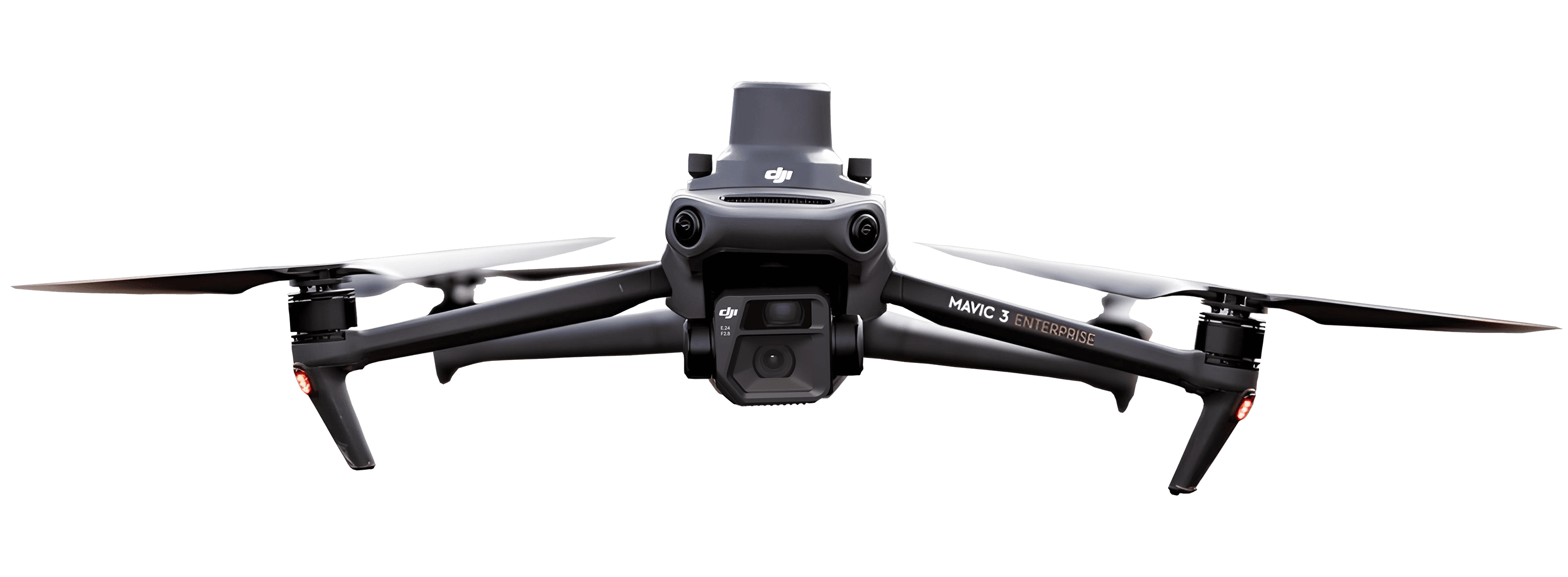
DJI Dock ready
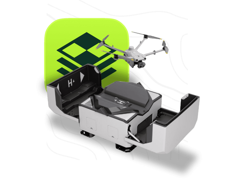
AVAG is the only application from the European Union that provides fully automated data capture and processing through the integration with the DJI Dock.
Management
Unlimited number of users
Access rights management allows each team member to have access to exactly the data they need.
Application
AVAG is available in six languages
English (EN), German (DE), Spanish (ES), Polish (PL), Czech (CZ), Portuguese (PT)
Security
Data is stored in the heart of EU
Your data is secure and protected under EU law.

Formats
Many supported formats
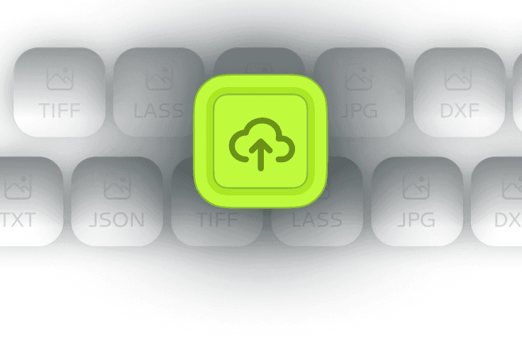
AVAG accepts both raw imagery for processing and already processed data.

Company
From passion to worldwide innovation: The journey of AVAG
We’ve flown thousands of construction site missions. We’ve processed terabytes of data. And we got tired of clunky, expensive software that required a PhD to operate.
In 2021, we built AVAG—the platform we wished existed when we were in the field.
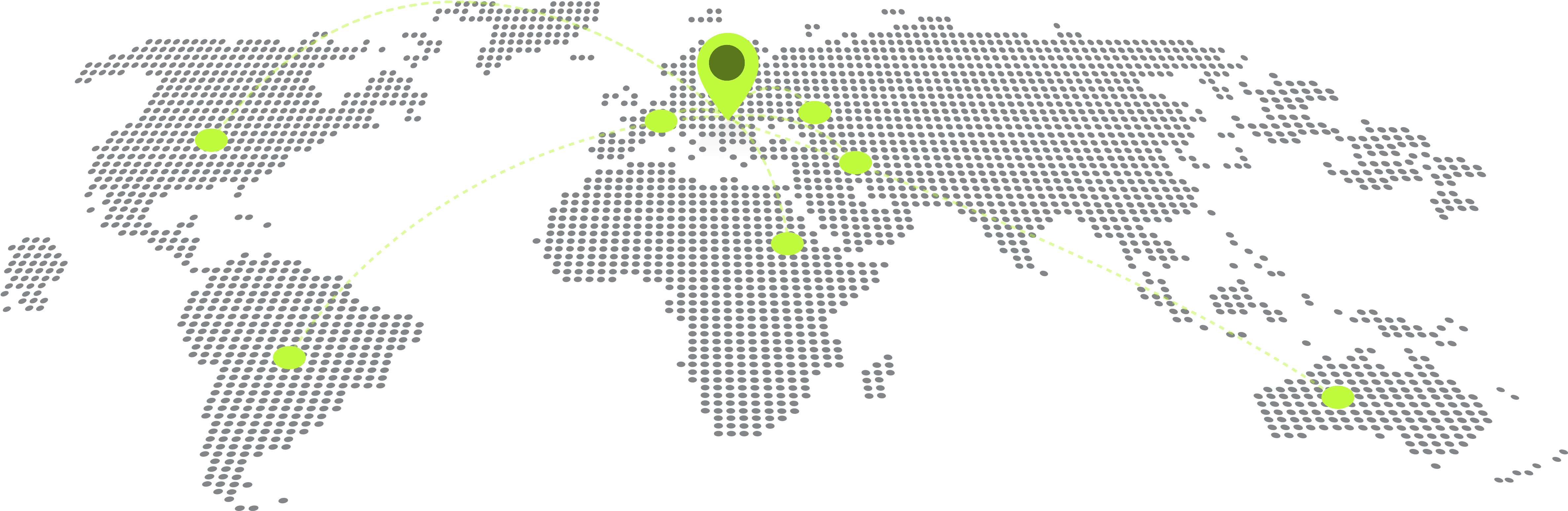
Today, teams in 80+ countries use AVAG to make faster, better-informed construction decisions.